
>_ Drone Mapping
Mining Adopts Drone Mapping for Real-Time Spatial Data
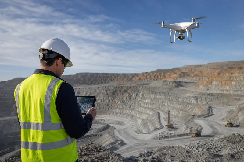
Photogrammetry and LiDAR systems now deliver 2-3 cm accuracy for stockpile volumes and pit wall stability, enabling faster decisions across mining sites.

When you join the system, you can enjoy the following benefits: