

Drone fleets are now generating the foundational data layers that will drive the next wave of physical artificial intelligence.
Niantic Spatial and Spexi Geospatial announced a strategic partnership on May 27, 2026. The agreement routes Spexi aerial captures through Niantic Spatial’s Reconstruction API. The result is city-scale 3D Gaussian splats available to enterprise customers as an on-demand service.
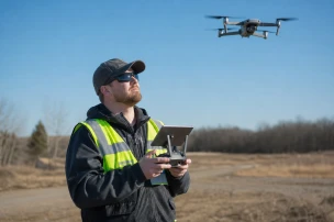
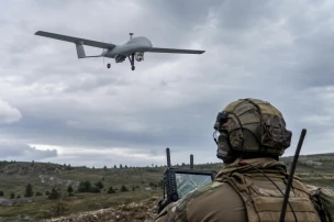
Spexi maintains a network of more than 10,000 drone pilots. The platform has already mapped over 6 million acres at 2.8 cm resolution, a level ten times sharper than typical satellite imagery. Spexi has been designated the preferred drone imagery provider for training Niantic Spatial’s real-world foundation models focused on physical AI.
For physical AI to work in the real world, it needs a foundation grounded in reality. Combining Spexi's capture network with our reconstruction technology and real-world models gets us significantly closer to that and delivers real operational value for our customers. Until now, high-quality 3D reconstruction has largely operated at the scale of an object or building. This partnership takes it to city scale and more.
Inhi Cho Suh, CEO of Niantic Spatial, emphasized the operational value for customers requiring precise environmental models.
The integrated workflow moves raw drone imagery directly into high-fidelity 3D outputs. Law enforcement agencies and security teams can apply these models to urban mapping, infrastructure assessment, and integration with behavioral intelligence platforms.
Together, Spexi and Niantic Spatial deliver a drone-to-3D pipeline that will redefine the next generation of physical AI, unlocking more accurate, up-to-date, and immersive representations of the built environment. Partnering with Niantic Spatial means customers can now go from raw imagery to actionable 3D intelligence in one seamless workflow.
Bill Lakeland, CEO of Spexi, highlighted the end-to-end capability created by the alliance.
The partnership expands access to reconstruction technology previously limited to smaller scales. Enterprise users in public safety and critical infrastructure now receive consistent, high-resolution spatial data suitable for training physical AI systems and supporting tactical operations.