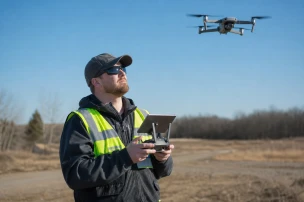


YellowScan's Mapper Ultra extends drone-based LiDAR mapping into beyond visual line of sight regimes for security and law enforcement users.
The system was introduced in April 2026 at the YellowScan LiDAR Convention held in Aix-en-Provence, France. It supports up to seven true echoes while maintaining 2.5 cm accuracy and precision at a maximum pulse rate of 500,000 shots per second.
Recommended maximum flight height reaches 240 m above ground level. At 120 m altitude and 10 m per second ground speed the sensor produces approximately 300 points per square meter.
The payload weighs 1.95 kg without its battery and draws power directly from the host UAV. No separate battery pack is required for operation.
Integration is possible on multi-rotor, VTOL, fixed-wing, and single-rotor airframes that accept a 2.2 kg payload. These specifications directly enable longer-duration BVLOS flights over large areas.
Law enforcement agencies can now collect high-density point clouds across extended perimeters, highway corridors, or incident scenes without maintaining constant visual contact with the aircraft. The resulting data supports detailed forensic mapping, infrastructure assessment, and surveillance planning.
Official product documentation confirms the Mapper Ultra was developed specifically for BVLOS drone mapping missions. Demonstration footage released on the YellowScan YouTube channel in late May 2026 further illustrates flight performance under these conditions.